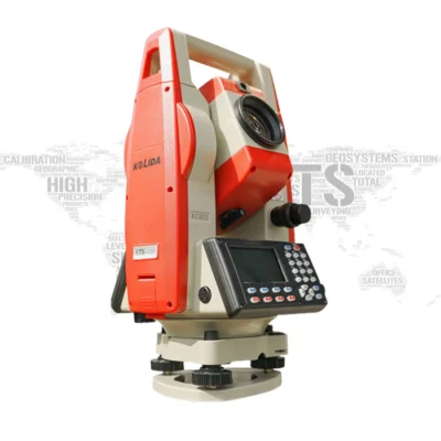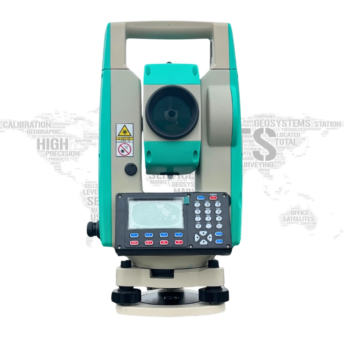
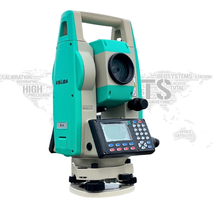
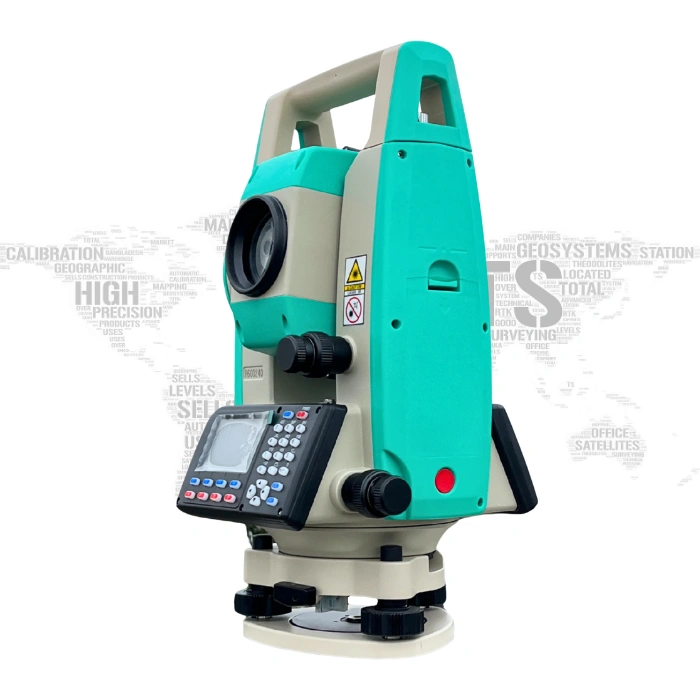
Kolida X4 Total Station
Kolida X4 Total Station
- Latest Version 2025
- Reflectorless 1000 Meters
- Reflector-less, Measures 5 km
- USB Pen drive, Laser Plummet
- Large Memory
- Convenient data management
- Long-distance measurement
- Abundant surveying programs
- Long time operation
Whole Country Shipping
Replacement Guarantee
Free Returns

WHY PURCHASE FROM US
- Quality Products & Services – We are committed to delivering reliable and high-quality solutions that meet industry standards.
- Experienced Team – Our skilled professionals have extensive experience and technical expertise in their respective fields.
- Customer-Focused Approach – We prioritize customer satisfaction and provide personalized support to meet specific requirements.
- Competitive Pricing – We offer the best value for your investment without compromising quality.
- Timely Delivery – We understand the importance of deadlines and ensure projects and orders are completed on time.
- After-Sales Support – Our relationship with customers continues after the sale, with dedicated technical and customer support.
- Trusted Partner – We strive to build long-term relationships based on trust, transparency, and mutual success.
Kolida X4 Total Station
Latest 2025 Model, Seven Major Improvements! X4, new generation Total Station. Ksurvey App works with X4 since 2024.
Measure & Setout on App, More Productive & Smarter!
Ksurvey App allows you to import CAD basemap and stakeout it, without input point coordinates one by one. Online map can be displayed with CAD map too. Point Stakeout and Line stakeout now is in graphic display. It brings more ease and convenience to your work.
Map & Draw on Android App, Save Time Outdoor & Indoor!
User is allowed to draw line, polygon, circle...up to 11 kinds of graphic, while measuring target points. no need to manually draw draft map any more. User is allowed to manage different objectives as different layers. The draft map can be saved and output in CAD format, and to be used in indoor works.
Measures Longer and longer, Improvement Never Settles!
How could we lift the ranging cabability to a new level of 1000m? The three key factors are "Dual-light Source Distance Measuring technology", optimization of the signal-to-noise ratio, a more stable objective lens system.
A New Step to be More Accurate, Innovation Never Stops!
Every hard working surveyor deserves a higher precision than before. Four innovations have been realized in our newly designed optical system to achieve this goal: "Focal Length Compensation Mirror", "Fully sealed emitting laser circuit", "Less reflectors in optical part", "the 4th Generation EDM CPU".
Practical Survey Program
Various of surveying programs onboard allow surveyors to complete their tasks directly in the field: angle offset, angle repetition, dual-distance offset, coordinate measurement, REM, MLM, Staking out,area calculation, Road Design, etc.
Convenient Data Transfer
Kolida X4 supports USB/ Bluetooth connection. Special data transmission and editing software can quickly transfer data and save time. User also can directly download measurement data from total station to USB flash memory disk, raw data/ coordinates/ .dxf all download in one time.
Bluetooth
External device can be linked to total station, through the Bluetooth™ wireless connection. Then users can use their PC/ tablet/ Data Controller with X4 total station and run mapping software to collect data.